In 2017, we wanted to cross Mackinac Bridge and go north to follow RD drive #61, Upper Peninsula Drive. But there was no Tesla supercharger in the Michigan's Upper Peninsula. There wasn't too many in Lower Peninsula either, but we still managed to make it from Saginaw to Mackinaw by refueling at Tawas City where we had lunch and lounged at the beach, and then staying overnight in Cheboygan's RV park. For the Upper Peninsula, Sault St. Marie was the only place that had slower Tesla destination charger. We could've stayed there overnight to refuel, but the next charger was at Sheboygan WI, over 300 miles away. It wasn't logistically possible.
Since then, Tesla added numerous supercharger stations in Wisconsin and Michigan, almost a dozen just along the drive #61. They even added a station in Mackinaw, right by the ferry terminal where we took the boat to Mackinac Island. Now it was more than possible to make it through the Upper Peninsula.
I didn't bring my RD's Most Scenic Drive book. I only planned to do the northern shoreline from Marquette to Grand Marais, MI, and I had no idea that the route overlapped the drive #61. I was flying mostly blind, as far as the destinations went, and I had to do my research for destinations on the fly. By the time I got to Munising, billboards and signs featuring Pictured Rocks National Lakeshore started to appear. I stopped at the tourist center there to find out what Pictured Rocks was all about. I then decided to check out a few destinations including Sand Point Beach, Upper Overlook, and Love's Leap.
There is no road along Pictured Rocks lakeshore. The road runs a few miles inland and you must take spurs, a dirt road, to the lakeshore to get to the destinations. The spur road to Sand Point Beach was an exception that ran along the shore. But you still had to come back out to Munising and then take the main road to get to the other destinations. (These destinations, btw, would've been missed I relied on RD Scenic Drives).
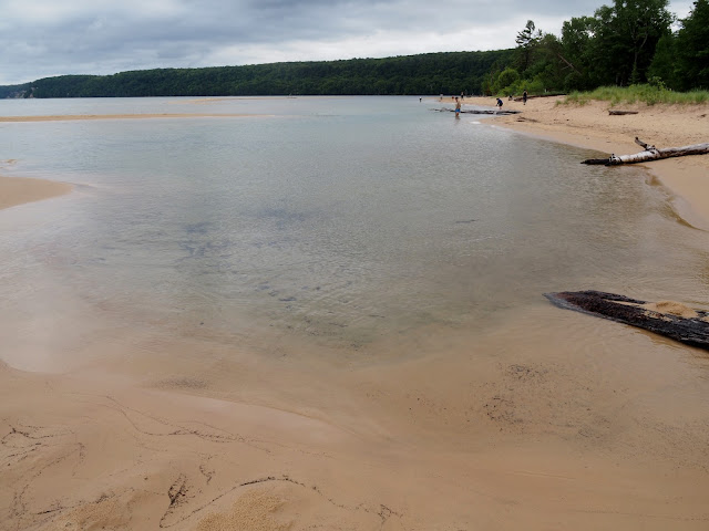
Sand Point Beach was a stunner. The crystal-clear lake water lapped shallow sand bars and beaches stretching out a mile on either direction on the peninsula jutting into the lake. Beaches in Carribean or Great Barrier Reef, save the warmth, had nothing on it.
On the way back from the Upper Overlook, I poked into Miner's Beach. There was a sign to it, and I couldn't pass on it. I could've walked from the Upper Overlook, and I started out walking, but rain started falling, so I returned to the car. It was a nice, wide beach with a stream emptying into it. After Sand Point Beach, it was just another beach.
Lover's Leap required some walking. From Chapell Falls Trailhead, you hike towards Mosquito Beach. Just before you get to the beach, your veer off to the right and follow the shoreline with spectacular views of Lake and the cliffs over it. Hike another mile and then Lover's Leap comes into view. You can't hike to Lover's Leap itself as there is no path. You only can view it from 100 yards from it.
With Pictured Rocks done, I drove straight to Grand Marais. I made a half-hearted attempt at Log Slide on the way, but I couldn't find the path to the shore. I think I was imagining a log jam when it was sand dunes plunging into the water in reality, similar to Grand Sable Sand Dunes. I might have tried harder to get to the water if I knew it. I didn't stop at Grans Sable either, so I didn't get to see either one. Leave something for the next time, I suppose.
Grand Marais was another lakefront town with beaches and a marina. It wasn't a tourist town like Menominee, however; it seemed more like a working-class town. I had a cold cereal for lunch in Bayshore Park behind Bayshore Market and then traversed the Upper Peninsula through the route 77 to Naubinway where they had a Tesla destination charger. The plan was to grab dinner there while refueling before continuing to Mackinaw. I plugged in the car at Adoba Inn and then walked to Moon Fries to grab a burger and ice cream. Then I finally got to Mackinaw well past 7 PM.


No comments:
Post a Comment