|
| Rundle Mountains |
You know how you imagine things would look and then it turns out completely different when you actually get there. Canmore was one of them. I dismissed it as a no-where lodging town, much like Mariposa for Yosemite. Sitting across Rundle Mountains however, Canmore turned out to be a scenic resort town in its own right.
By the time we got to Golden BC, I was dog-tired; the 400 mile drive from Seattle to Kamloops the day before, including stops in Vancouver and hiking Nairns Fall trail, took a toll. Sitting down for lunch in Kicking Horse Chinese restaurant in Golden, I was thinking that we should stay in Golden for the night and then tackle Lake Louise in the morning. It's about the same distance to Lake Louise from Canmore anyway. But I already made reservation for 4 nights for whopping $750 and there was no cancelling it. So we marched on to Lake Louise and then to Canmore.
 |
| Lake Louise |
 |
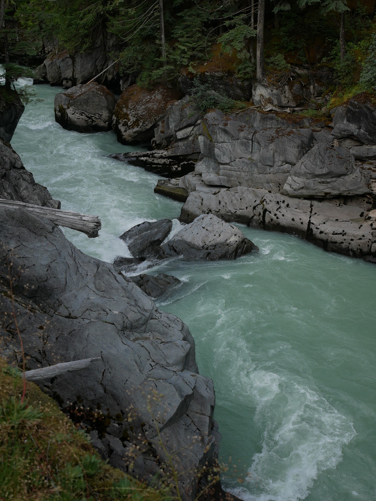
| Mirror Lake |
Things have ways of working out. The sight of Lake Louise perked me up when we got there, and we charged up Agnes Trail to Mirror lake. It was harder hike than I imagined. It was 4 miles from where we parked, but the total elevation gain turned out to be 1000 feet. It was a real hike, in other words. I survived it with some help from my wife: she occasionally pushed me up on the way up and I leaned on her on the way down. And now we had 2 full days, instead of 1, in Banff proper.
The next day we went into the town of Banff and hiked the trail to Bow Fall, the main tourist attraction in the park. It was only 1km long. After Agnes trail the day before, that was enough. Then we took Sulfer Mountain Goldola and lounged at the top for an hour soaking in the view and the sun, and recovering from the hard hike the day before.
On day 3 I struck out on my own. After an easy day (yeah, now I'm calling 2km hike and a gondola ride an easy day), I felt I could tackle whatever's left. That's Moraine Lake trail, Johnston Canyon and Tunnel Mountain trail. That's total of 8 miles and it would've been impossible, of course. But that's how well I felt.
Moraine Lake was a bust. The parking was full, so I had to drive back to the overflow lot 6 miles away by the TC freeway. There, the line for the shuttle to the lake was 120 minutes. I turned around and headed to Johnston trail.
 |
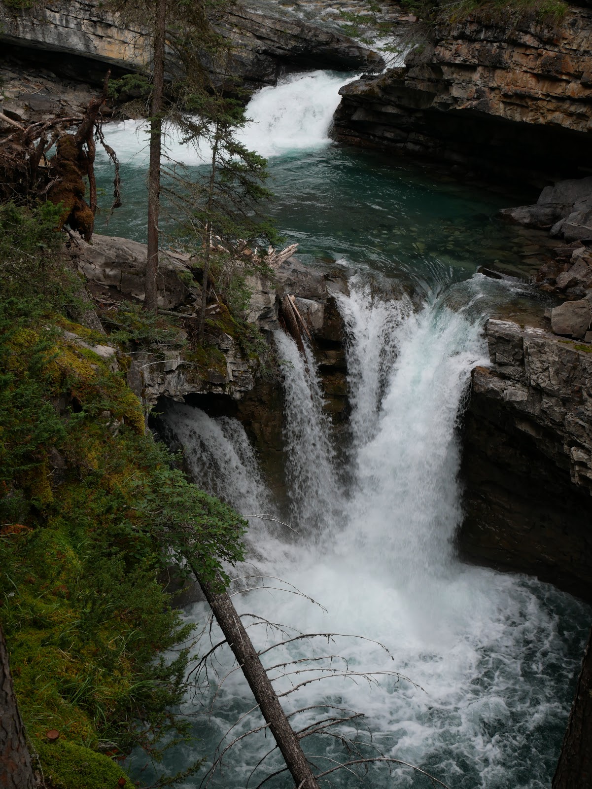
| Johnston Creek |
Johnston Canyon Trail was total of 4 miles from where I parked on the roadside. And it was about the same difficulty as the
Sentinel Dome/Taft Point hike in Yosemite, except that I did it faster in 3 hours. When finished, my legs were wobbly, but I still felt ambitious enough to go for Tunnel Mountain trail.
But the Tunnel Mountain trail was petty steep. The upper portion was only 1 mile and 800 ft in elevation, shorter and steeper than Agnes trail. The initial 0.1 mile in particular was straight up on stairs and the
aftermath of Astoria Tower weighed on me. I gave up.
On the way to Tunnel Mountain trail, however, I came across Surprise Corner, the best vista point in the whole park that I didn't know about. You can climb down to the river from the top and it'll drop you right below Bow Fall. The view is just out of this world.
 |
| View from Surprise Corner |
So, I hiked almost everyday since we left home. And 4 days in a row in Canada: Nairn Falls for 2 miles, Agnes trail for 4 miles, Bow Falls for 2 km and then Johnston Canyon for 4 miles. This trip has been twice as intense and twice as long so far, as the trip to Oregon last year. And I still was up and running by the time we left Banff. Should I declare that I recovered? Anybody not well versed with CFS would. But I know better. I'll probably will struggle for 3 weeks when I get back home. Then I'll settle into the steady state of 30,000 steps per week. (It would be nice to settle to 45,000 steps like in June, but the summer will be over by the time I'm done with the post-trip struggle). But you can always hope that the Spring is eternal.